A quarter of the Netherlands lies below the level of the sea, and people live, farm and build towers there. They did it with mounds, then dikes, then windmills and pumps, and with an old habit of sitting down together to decide who pays for the wall that protects everyone.
Drawer:Dikes: Amsterdam, Rotterdam and the Dutch Water · Quiz:Dikes, 8 questions
Lessons:SS0 20 · Land and water on a globe (K–2)PreviewRW4 11 · Explaining a procedure: the canal lock (4)PreviewWH1 31 · Water and Power (3)PreviewMH1 31 · Water and Power (6–8)PreviewAPES 4 · Ecosystem services and disturbancePreviewE27 18 · The container portPreviewE02 1 · The skyline read as a bar chartPreviewE14 14 · Three skylines, three erasPreview
Some people live where the land is lower than the sea. In the Netherlands they built long walls of earth called dikes. Windmills, and now pumps, push extra water up and over the wall. Try it with a tray of sand and a cup of water: build a wall, then add “rain” and see where the water goes.
Inside a polder: the slider
A cross-section from the North Sea, over the dunes, through an old polder, a drained-lake polder at the lowest point in the country, to a river held between dikes. Raise the sea, add a storm, and switch the defenses off to see what the dikes, dunes and pumps are holding back.
Schematic, heights exaggerated about 12 times; the levels are typical, not one real place. Sea dikes and dunes are built to hold storms expected once in thousands of years; the river level here simply rises with the sea.
Room 1Making land
Photo: RomkeHoekstra · Wikimedia Commons, CC BY-SA 4.0
A country below the sea
About a quarter of the Netherlands lies below sea level, and more than half of it could flood from the sea or the rivers without dikes, dunes and pumps. Its lowest point, in the Zuidplaspolder near Rotterdam, is about 6.8 meters below the national datum (NAP). The saying goes: God made the world, but the Dutch made the Netherlands.
Photo: Unknown author · Wikimedia Commons, CC BY-SA 3.0
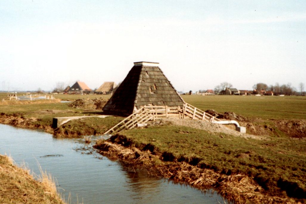
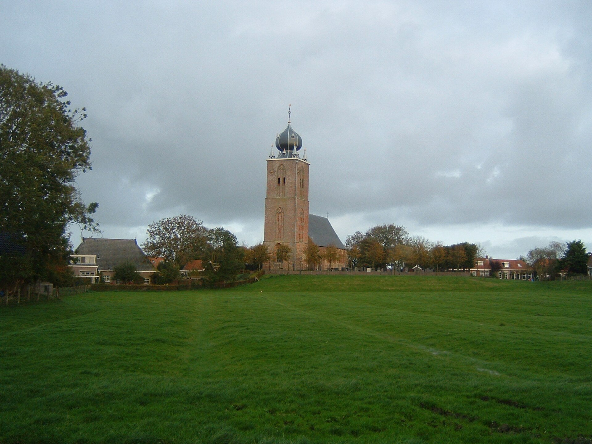
Mounds first: the terpen
From about 500 BCE, farmers on the salt marshes of Friesland and Groningen lived on artificial mounds called terpen (wierden), raising them higher with clay, dung and rubbish as storms rose. Some villages still sit on their mounds today. Dikes linking the mounds came later, after about 1000 CE.
Photo: Lucas Hirschegger · Wikimedia Commons, CC BY-SA 3.0
Dikes, polders and pumps
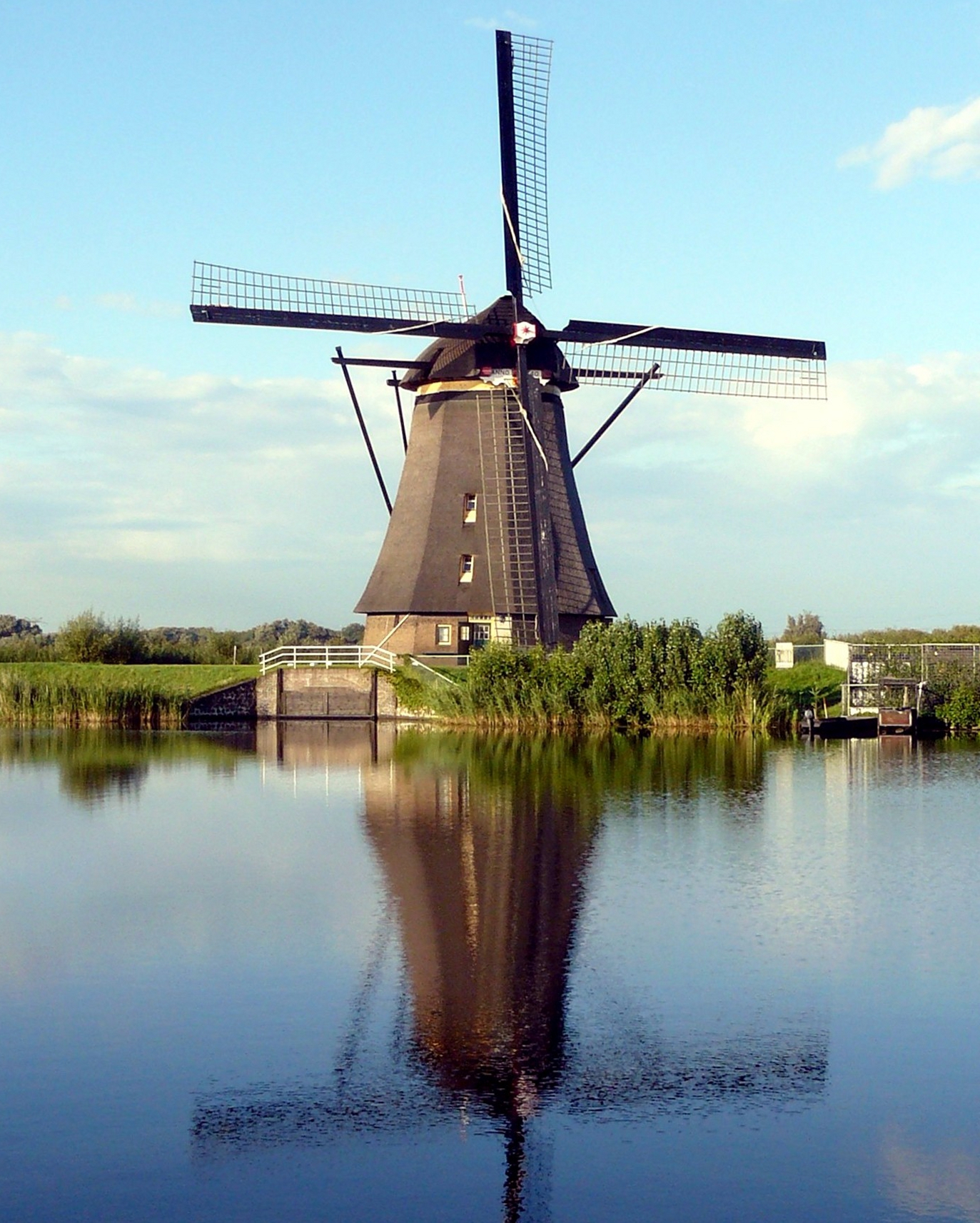
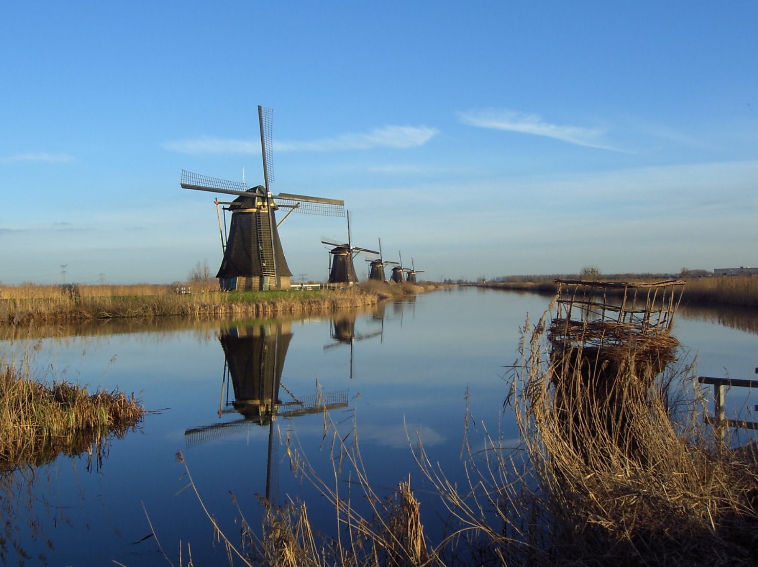
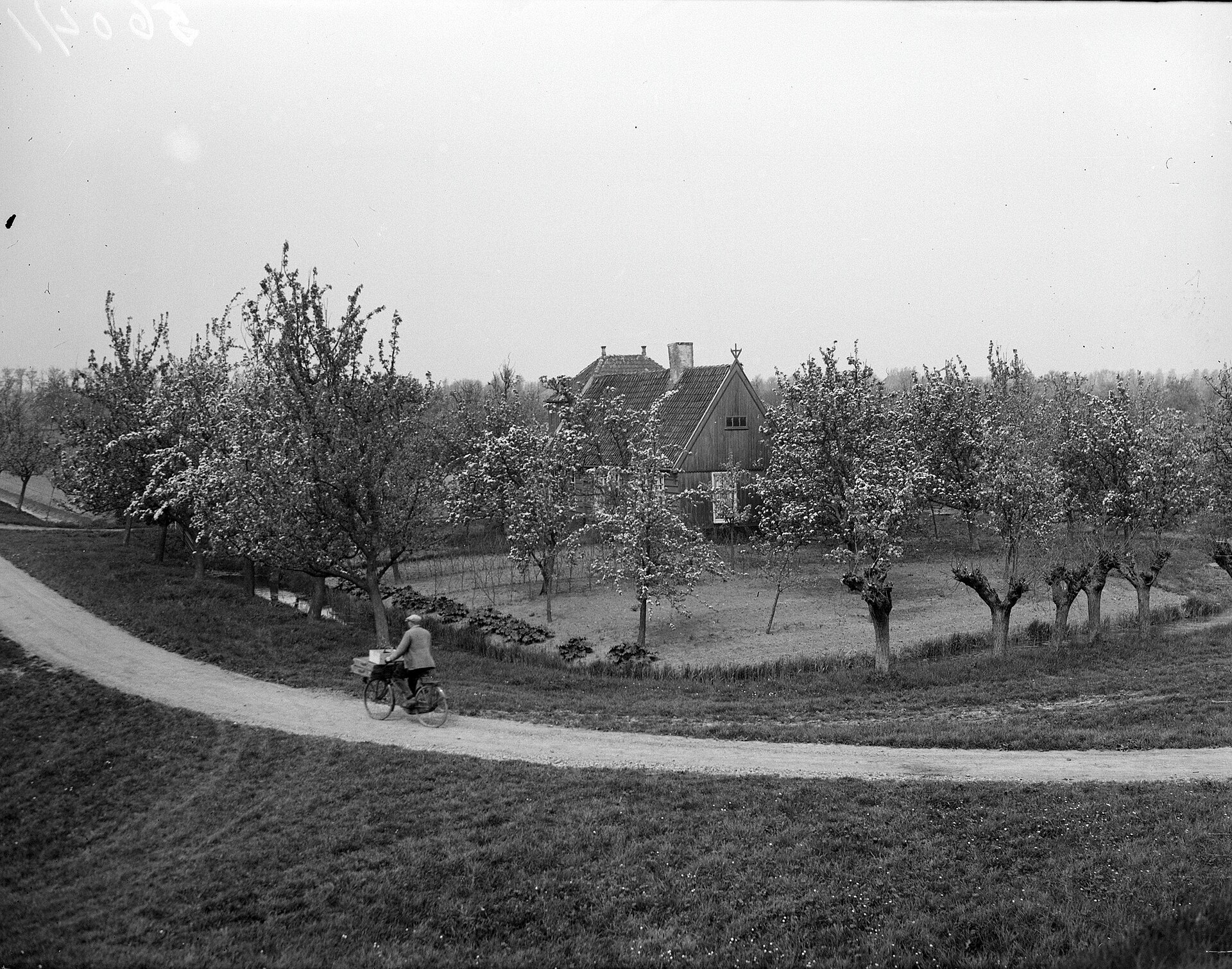
A dike is a bank that holds water back; a polder is low land enclosed by dikes whose water level people control. Rain and seepage collect in ditches and must be lifted out over the dike into a higher canal (a boezem) and then to the river or sea. For centuries windmills did the lifting; then steam, diesel and today electric pumps.
At Kinderdijk, near Rotterdam, nineteen windmills built around 1738 to 1740 still stand in rows along the polder canals, with pumping stations of later centuries beside them. UNESCO listed the Mill Network at Kinderdijk-Elshout in 1997.
Photo: Erik Zachte · Wikimedia Commons, CC BY-SA 3.0
The water boards
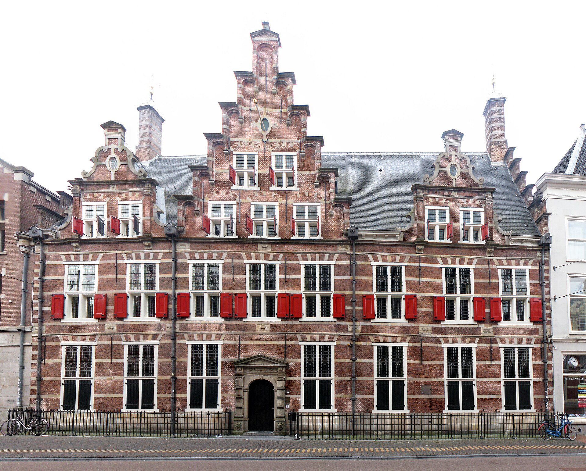
Because a dike protects everyone behind it, people had to agree on who would build and pay for it. Local water boards (waterschappen) arose in the 1200s; the Hoogheemraadschap van Rijnland dates its charter to 1255. They are among the oldest democratic bodies in the Netherlands, with their own elections and taxes. There are 21 water boards today.
Photo: Unknown authorUnknown author · Wikimedia Commons, CC BY-SA 4.0
Draining the lakes: the Beemster
In 1612, investors from Amsterdam drained the Beemster lake north of the city with dozens of windmills, laying out farms, roads and ditches in a perfect grid. The Droogmakerij de Beemster is a UNESCO site (1999). Draining lakes made new farmland and profit, but drained peat sinks, so the land has kept going down ever since.
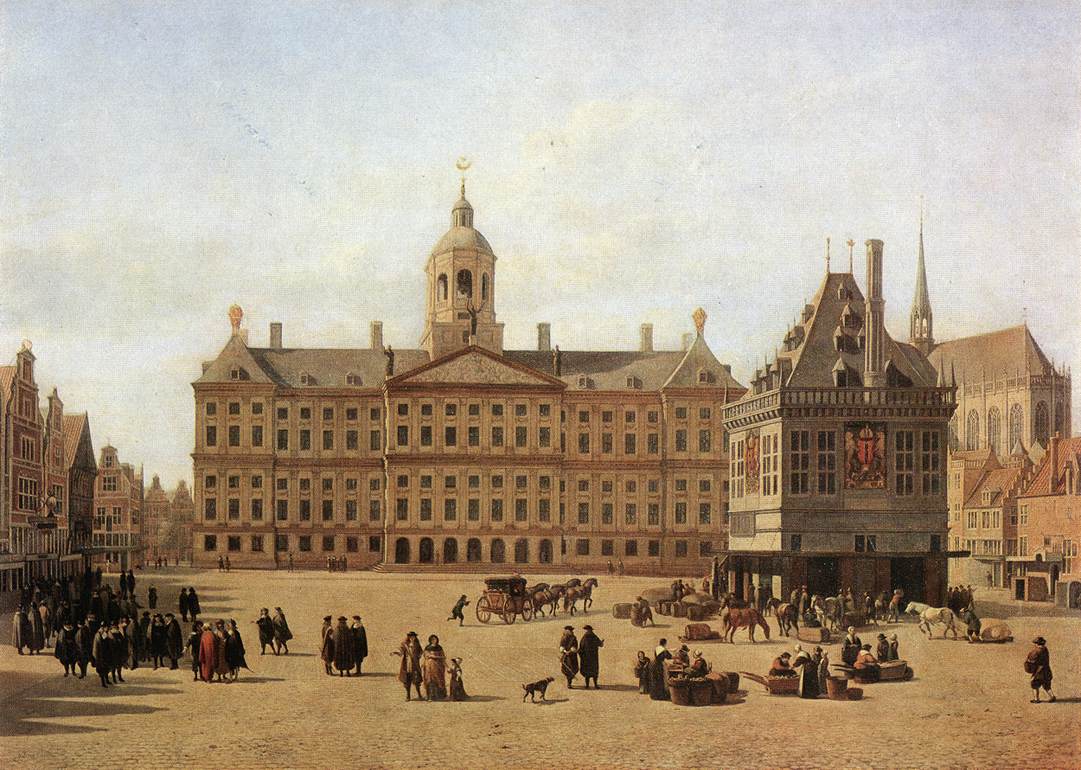
Photo: Gerrit Adriaenszoon Berckheyde · Wikimedia Commons, Public domain
A dam on the Amstel
Amsterdam takes its name from a dam built across the Amstel River around 1270, where Dam Square is today. Fishing villages grew into a trading town on the IJ, the arm of the sea behind it. By the 1600s it was the busiest port and money market in Europe.
Photo: Dietmar Rabich · Wikimedia Commons, CC BY-SA 4.0
The Canal Ring of 1613
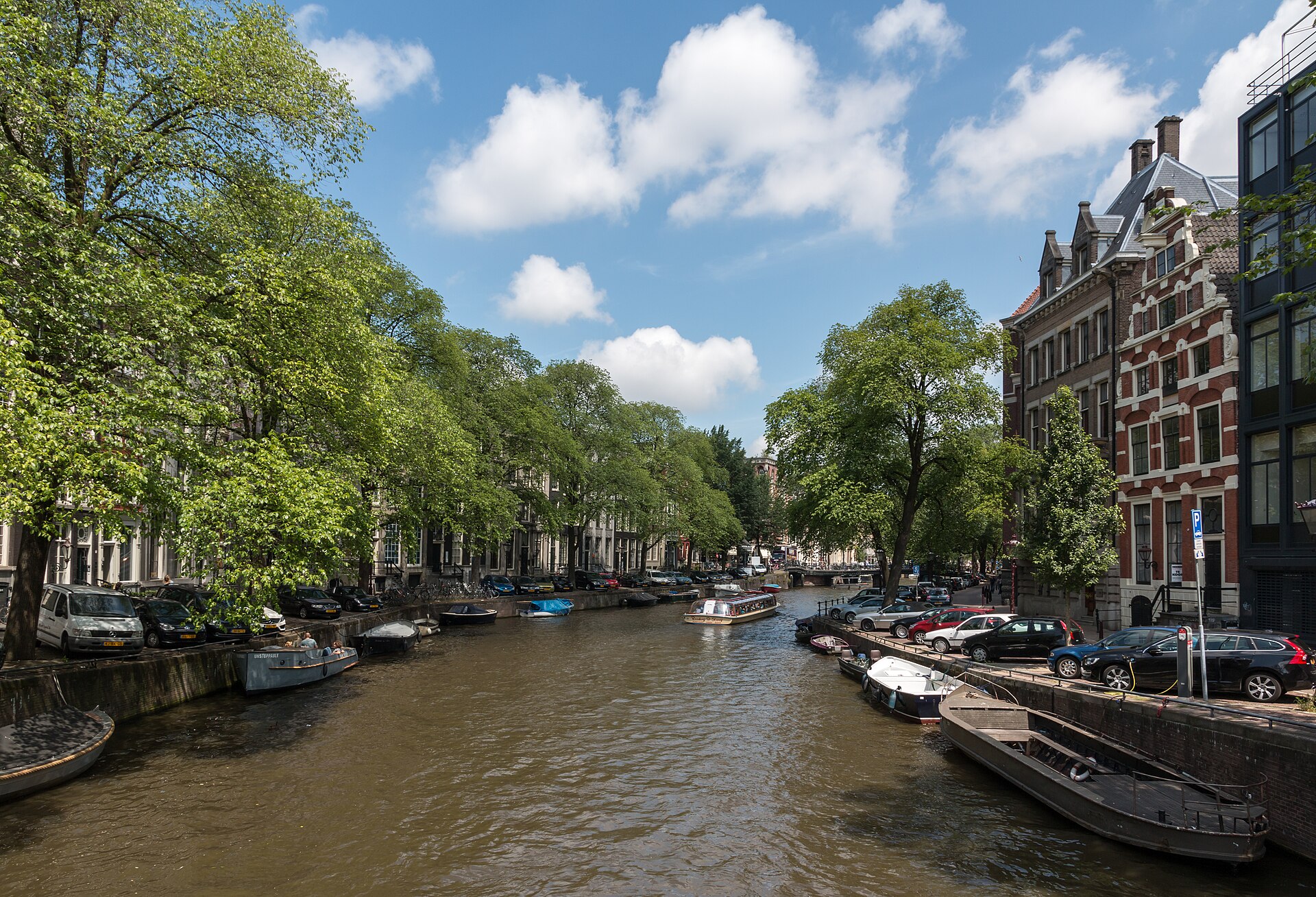
In 1613 the city began three great semicircular canals, the Herengracht, Keizersgracht and Prinsengracht, around the old town, with narrow lots for merchants’ houses. It was planned city growth on reclaimed land. The 17th-century canal ring area was listed by UNESCO in 2010.
Photo: Diego Delso · Wikimedia Commons, CC BY-SA 4.0
A city on wooden piles
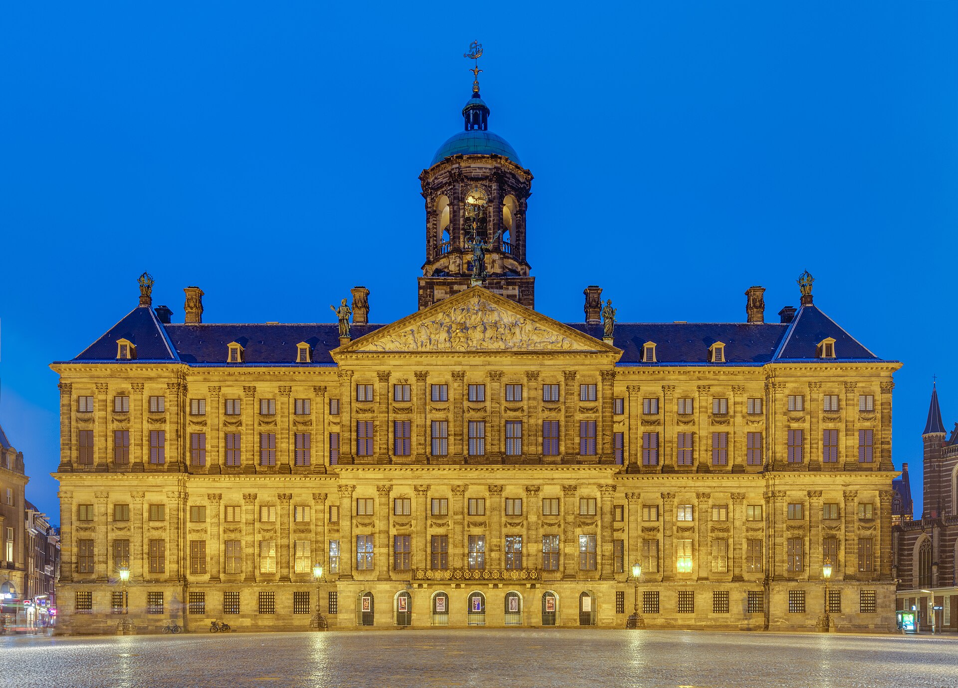
Amsterdam stands on soft peat and clay, so buildings rest on wooden piles driven down to a firm sand layer about 11 to 13 meters below. The Royal Palace on Dam Square, built as the city hall in the 1650s, stands on 13,659 piles. The piles last as long as they stay wet; if the groundwater drops, they rot and houses lean.
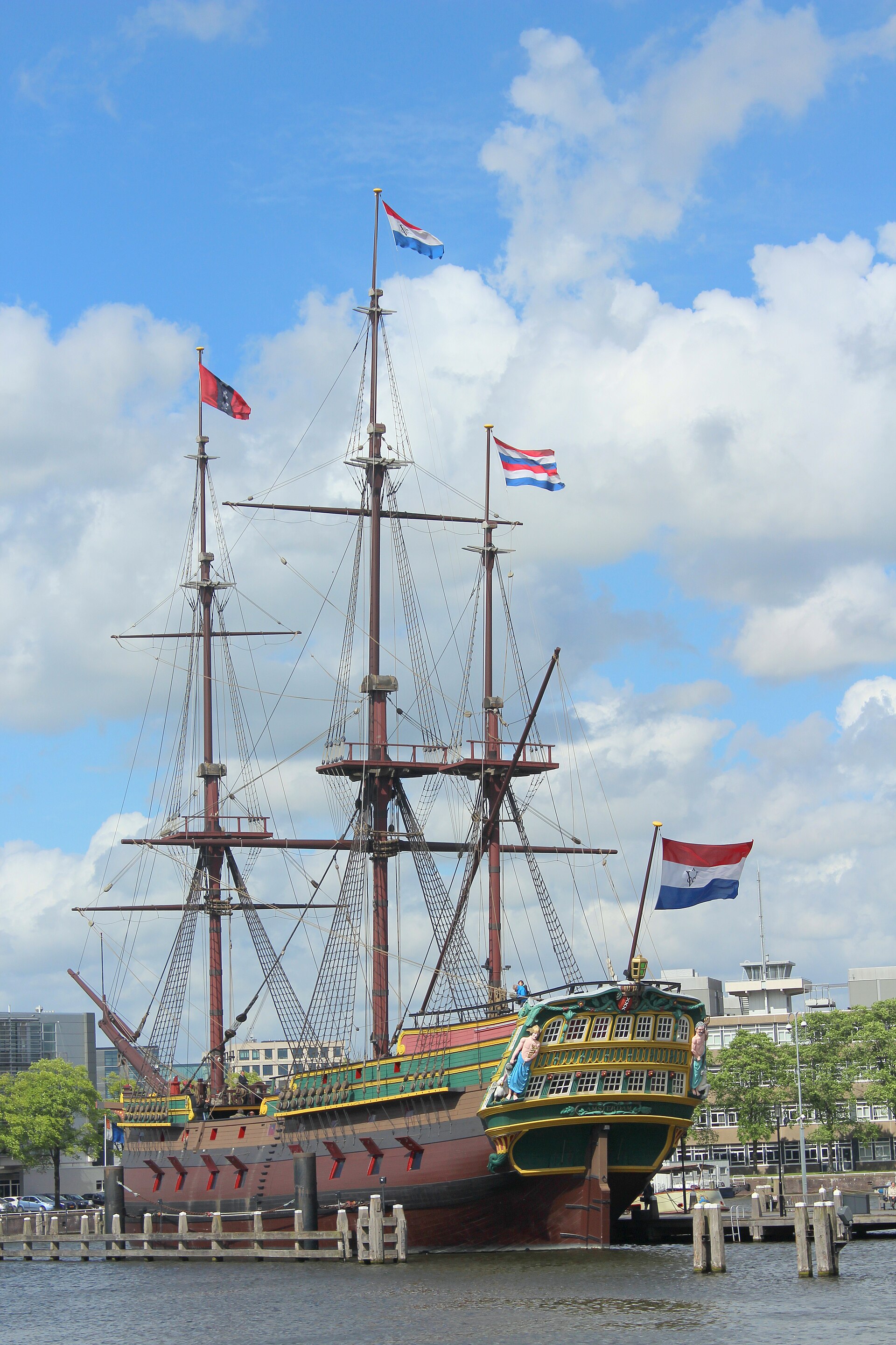
The Dutch East India Company (VOC), founded in 1602, was a company owned by shareholders who could trade their shares on the Amsterdam exchange, one of the first modern stock markets. Its ships brought spices, textiles and porcelain, and its wealth paid for canal houses and paintings. It also waged war, took land and traded enslaved people in Asia and Africa. Both belong in the story.
The vertical-push question: Amsterdam guards its 17th-century center and keeps most buildings low; Rotterdam, its center bombed flat in 1940, chose to rebuild as the Netherlands’ city of towers. Same soft ground, same piles, different history and different rules. Compare the two on Urbanicity Research.
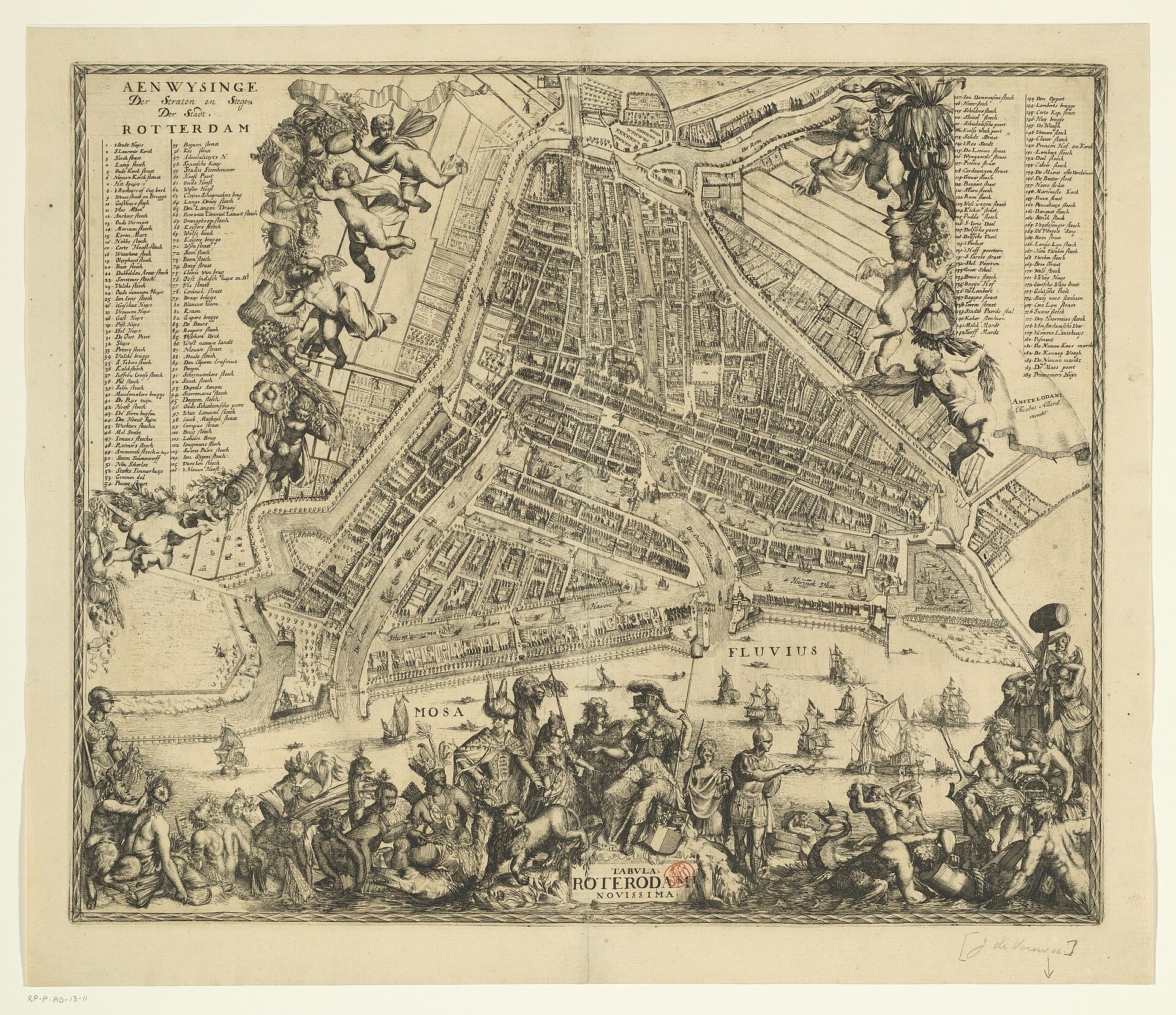
Rotterdam began with a dam across the small Rotte River around 1270 and received city rights in 1340. It grew as the port where the Rhine and Maas meet the sea, the door to Germany’s industry.
Photo: Niels Johannes · Wikimedia Commons, CC BY-SA 4.0
The New Waterway, 1872
Silt kept blocking the river mouth, so engineer Pieter Caland cut a new channel straight to the North Sea. The Nieuwe Waterweg opened in 1872 and let ever larger ships reach Rotterdam. The port then grew downstream, harbor after harbor, toward the sea.
Photo: Unknown authorUnknown author · Wikimedia Commons, Public domain
May 14, 1940
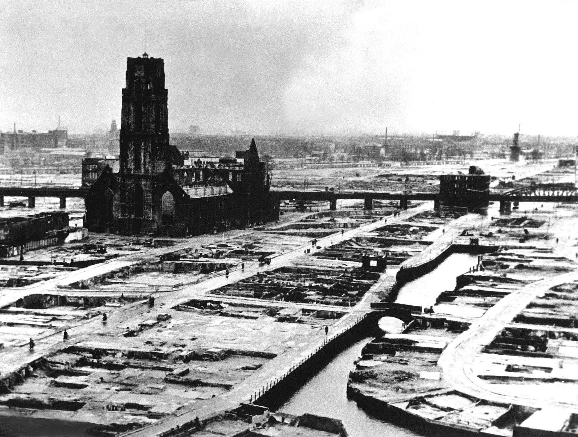
On May 14, 1940, German bombers destroyed the old center of Rotterdam. Around 900 people were killed and some 80,000 lost their homes; the Netherlands surrendered the next day. Only a few old buildings, such as the Laurenskerk tower and the city hall, survived.
Photo: Kristoffer Trolle from Copenhagen, Denmark · Wikimedia Commons, CC BY 2.0
Rebuilt as a modern city
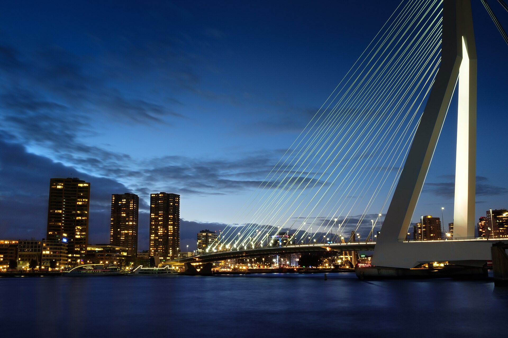
Rather than copy the old town, Rotterdam rebuilt with wide streets, the car-free Lijnbaan shopping street (1953) and, later, towers. Today it has the Netherlands’ tallest skyline: De Rotterdam (2013), the Erasmus Bridge (1996), Piet Blom’s tilted Cube Houses (1984) and the Markthal (2014). Ask the vertical-push question: what conditions let Rotterdam grow up when Amsterdam did not?
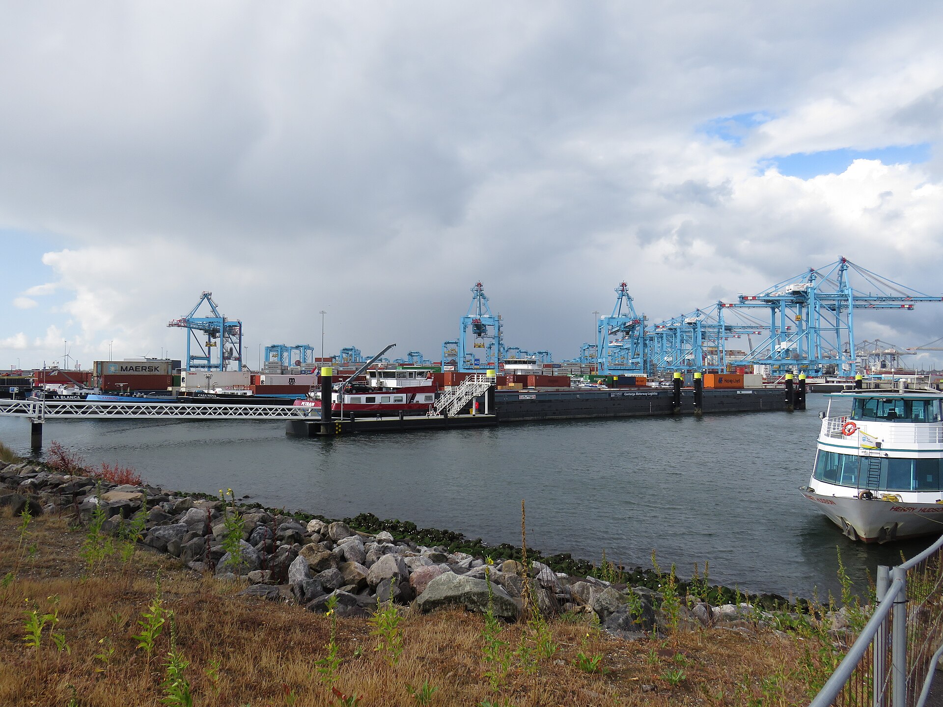
Rotterdam is Europe’s largest seaport. It handled about 436 million tonnes of cargo in 2024, from oil and coal to containers. Maasvlakte 2, land built out into the North Sea and opened in 2013, added deep-water container terminals run largely by automated cranes.
Photo: No machine-readable author provided. Jensbn~commonswiki assumed (based on copyright claim… · Wikimedia Commons, CC BY-SA 2.5
The St. Elizabeth flood, 1421
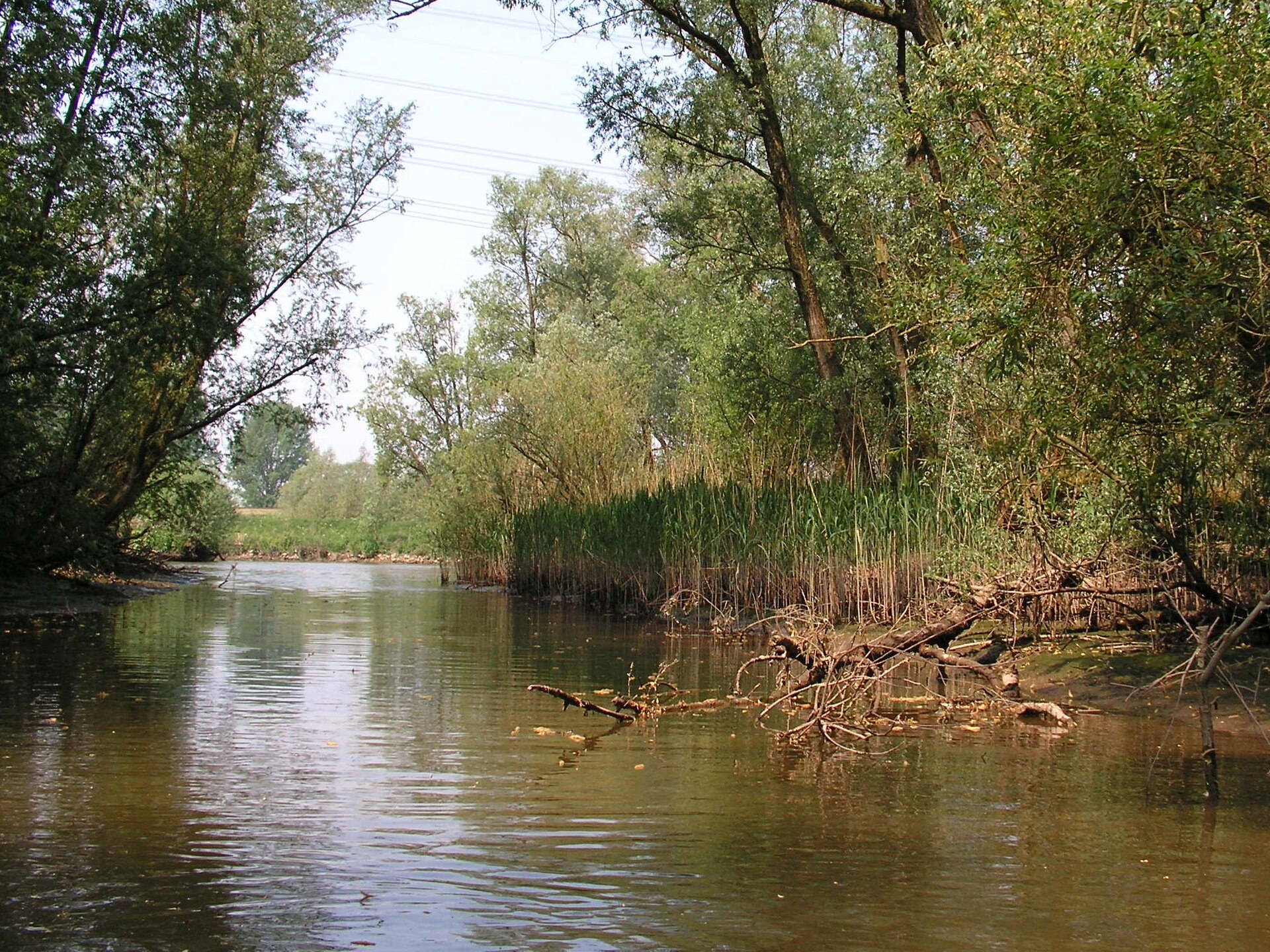
On the night of November 18–19, 1421, a storm tide broke the dikes of the Grote Waard, a rich polder south of Dordrecht. Some twenty villages were lost and many thousands died; estimates vary widely. The drowned land became the Biesbosch, now a national park of creeks and willow marsh.
On the night of January 31 to February 1, 1953, a North Sea storm surge broke the dikes of Zeeland and South Holland. 1,836 people died in the Netherlands, and more than 300 in England. The disaster led to the Delta Plan.
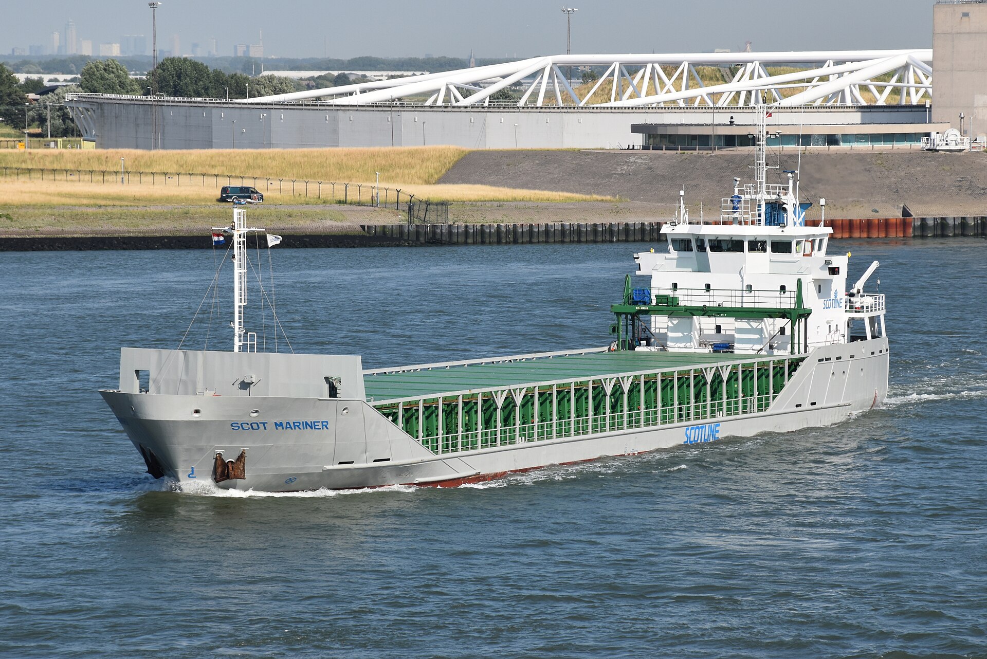
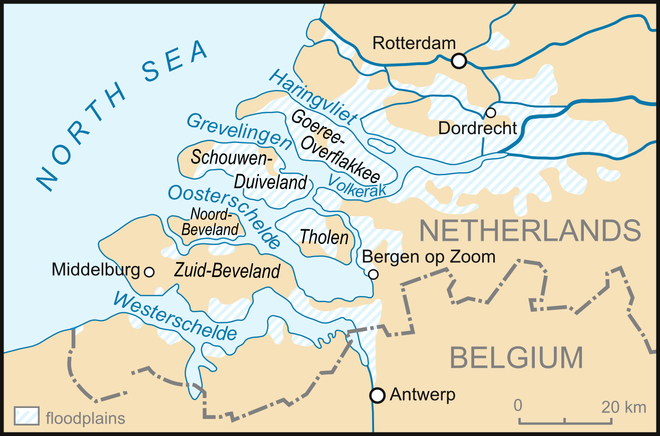
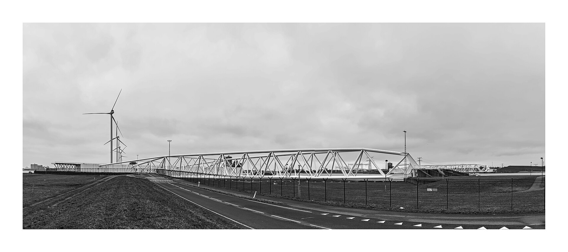
The Delta Works shortened the coastline by closing or guarding the sea arms of Zeeland and South Holland with dams, sluices and barriers. The Oosterscheldekering (1986) stays open to the tide except in storms, to save the estuary’s life. The Maeslantkering (1997), guarding Rotterdam’s waterway, has two arms each about as long as the Eiffel Tower is tall; they swing shut when the sea rises high.
Photo: C messier · Wikimedia Commons, CC BY-SA 4.0
The Afsluitdijk and the new land
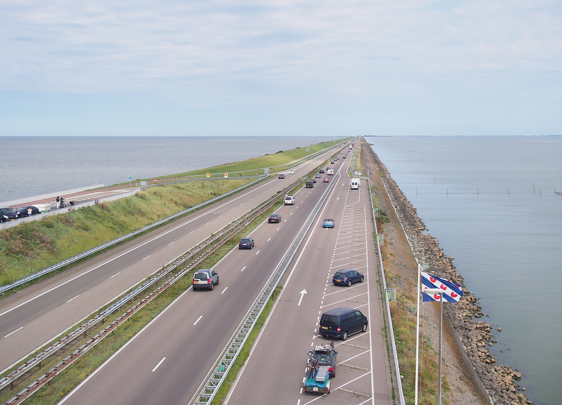
In 1932 the 32-kilometer Afsluitdijk closed off the Zuiderzee, an inland sea, turning it into the freshwater IJsselmeer. Engineers led by Cornelis Lely’s plan then pumped dry huge polders inside it; Flevoland, made between the 1950s and 1968, became the Netherlands’ twelfth province in 1986. Almere, a city of more than 200,000 people, stands on what was sea floor.
Photo: Smiley.toerist · Wikimedia Commons, CC BY-SA 4.0
Room for the River
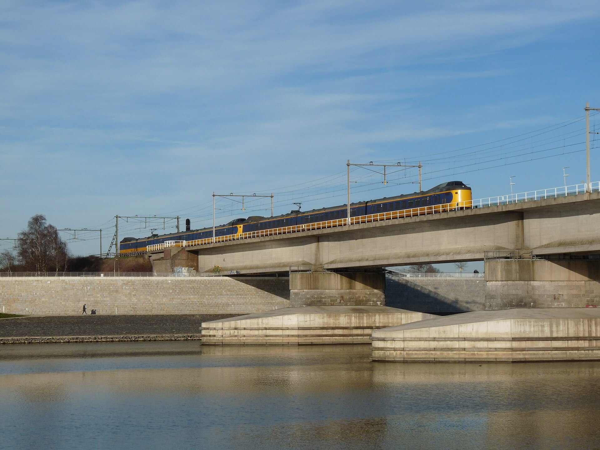
After near-floods on the Rhine and Maas in 1993 and 1995, the Dutch changed course: instead of only building dikes higher, they gave rivers more room. The Room for the River program (2006–2019) lowered floodplains, moved dikes back and dug side channels at more than thirty places, such as the Waal bypass at Nijmegen.
Photo: Allen B. Doggett (ill.) · Wikimedia Commons, Public domain
The novel
Hans Brinker, or The Silver Skates (1865) was written by an American, Mary Mapes Dodge of New York, who had never been to the Netherlands when she wrote it; she worked from books and from Dutch neighbors. Hans and his sister Gretel, poor children from near Broek, hope to win silver skates in a race on the frozen canals. The book is in the public domain.
Inside the novel, an English schoolbook story is read aloud: a Haarlem boy, walking home at dusk, finds a leak in a dike and plugs it with his finger, staying all night in the cold until help comes. The boy is not Hans Brinker, and it is not an old Dutch folk tale. Engineers will tell you a finger would not stop a real dike breach.
American and British visitors kept asking where the brave boy lived, so the Dutch put up statues: at Spaarndam (1950), at Harlingen, and a little one at Madurodam in The Hague. A story invented abroad became a symbol the Dutch now use themselves.
Read the whole novel free at Project Gutenberg (public domain). Ask: why did an American story about a Dutch boy become the world’s picture of the Netherlands?
Room 6Florida next
Photo: Eden, Janine and Jim · Wikimedia Commons, CC BY 2.0
Tampa Bay and the rising sea
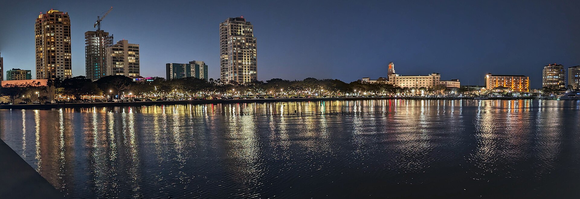
The tide gauge at St. Petersburg has measured sea level rising about 3 millimeters a year since 1947, roughly 9 inches in all, and faster in recent decades. Much of Pinellas County and the Manatee and Sarasota shores lies only a few feet above high tide. Hurricanes Helene and Milton in 2024 showed what storm surge does to low ground.
Photo: National Park Service Digital Image Archives · Wikimedia Commons, Public domain
Could Florida build dikes?
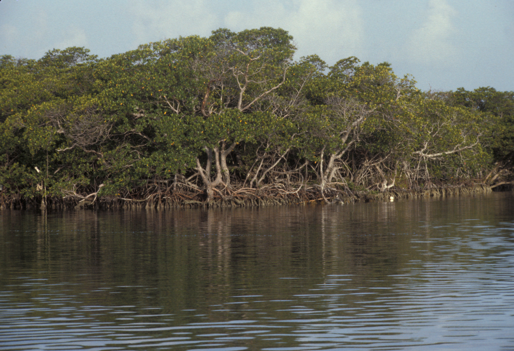
The Dutch can wall off a clay coast, but most of Florida sits on porous limestone: sea water seeps up from below, under any wall. That is why Florida’s answers look different: raising roads and sea walls, pumping and one-way valves on storm drains, restoring mangroves and oyster reefs, and moving out of the lowest places. Dutch engineers have worked with New Orleans after Hurricane Katrina and with Florida cities on these plans.