“Biggest river” has three answers: the longest channel, the most water, or the largest land drained. Sort the table three ways and the winners change. Every figure here is an estimate: rivers wander, and measurers disagree about where a river begins and ends.
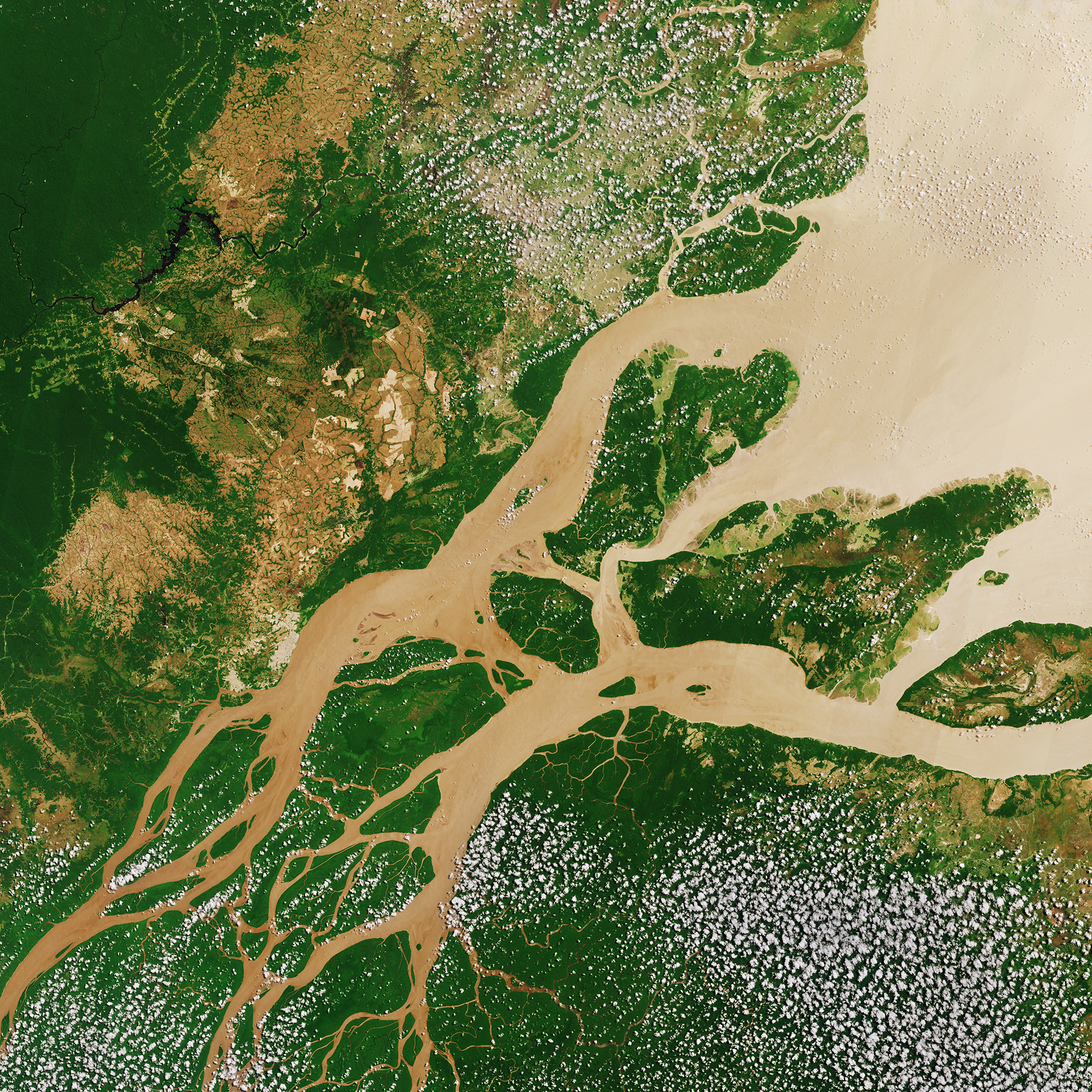
The Amazon · European Space Agency · Wikimedia Commons, CC BY-SA 3.0 igo
Drawer:The World’s Great Rivers · Quiz:Great Rivers, 8 questions
Lessons:SC3 77 · Follow the water (K–12)PreviewWH2 16 · Roads and Rivers (4)PreviewMH2 16 · Roads and Rivers (6–8)PreviewRW7 18 · Context clues in Mark Twain’s riverPreviewAPES 12 · Watersheds and El NiñoPreviewE09 6 · Two watersheds, comparedPreviewE18 4 · Geography’s dealt handPreview
Rain falls on hills and runs downhill. Little streams join into bigger streams, and bigger streams join into a river, until the river reaches the sea. The land that drains into one river is called its watershed. Every place, even your school, is in a watershed. Which river does your rain go to?
The comparisonSort the rivers
Click a column to sort. Florida’s rivers are listed below for scale.
#
River
Continent
Length, km
Flow, m³/s
Basin, km²
Mouth
≈ All figures are rounded estimates from standard references (Encyclopaedia Britannica, USGS, national water agencies); flow is the long-term average at or near the mouth. Lengths of joined rivers (Mississippi–Missouri, Ob–Irtysh) are measured from the farthest headwater.
The mapWhere they reach the sea
Each dot marks a river’s mouth; its size grows with the water it carries. Click a dot for the river.
Room 1Longest, biggest, deepest
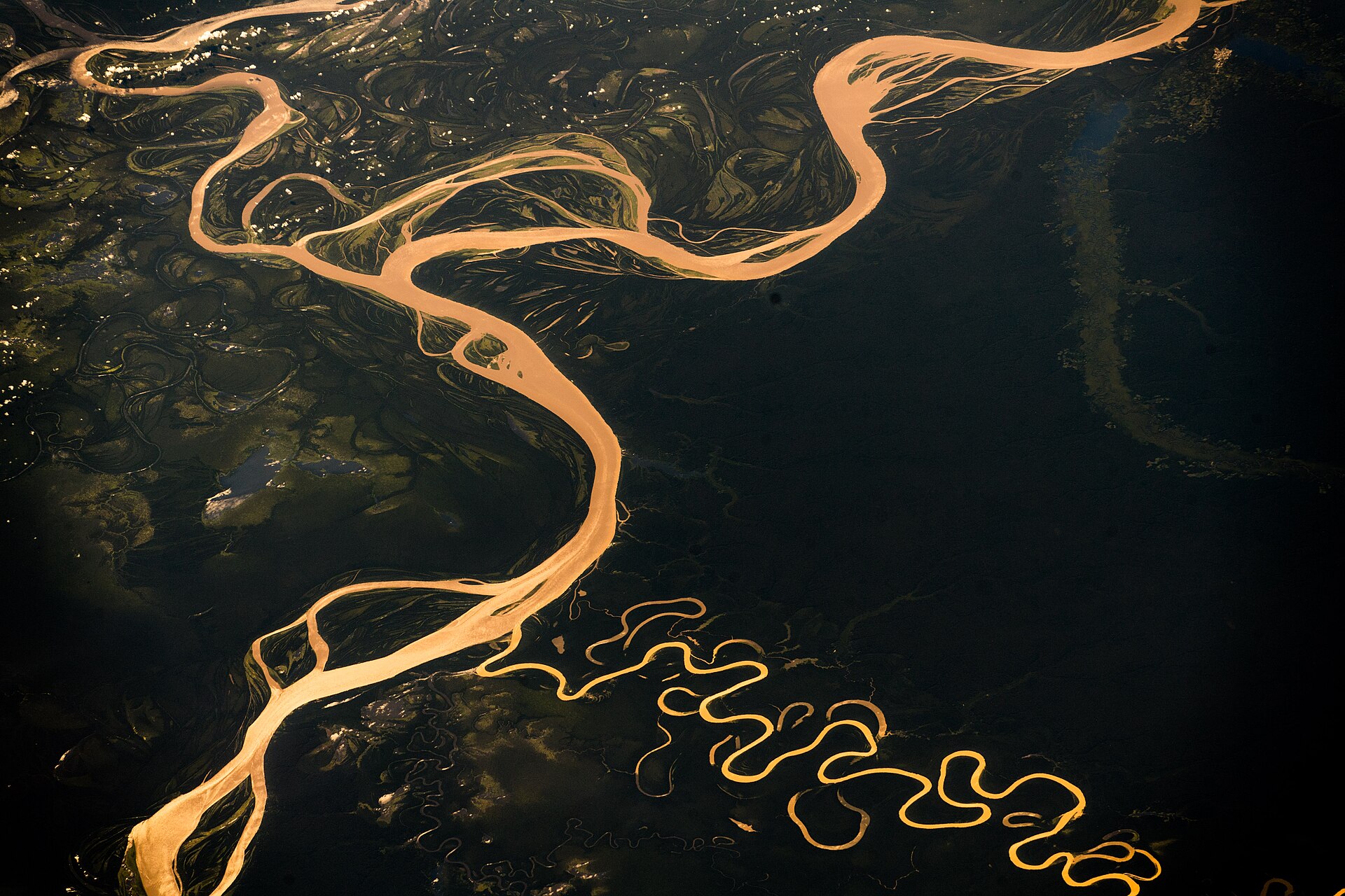
Photo: Alexander Gerst · Wikimedia Commons, CC BY-SA 2.0
Nile or Amazon?
Most reference books list the Nile (about 6,650 km) as the longest river and the Amazon (about 6,400 km) second. But where a river “begins” depends on which headwater stream you choose, and how you measure its winding mouth. In 2007 Brazilian researchers argued the Amazon is about 6,992 km; an international expedition launched in 2024 set out to measure both again. Treat the ranking as disputed.
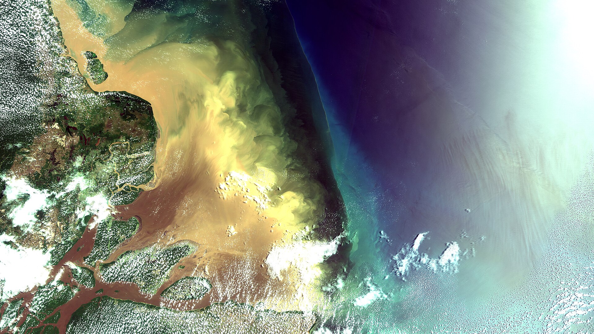
Photo: Coordenação-Geral de Observação da Terra/INPE · Wikimedia Commons, CC BY-SA 2.0
The biggest by far
By the water it carries, the Amazon has no rival: on average about 209,000 cubic meters a second reach the Atlantic, roughly a fifth of all the river water flowing into the world’s oceans, and more than the next several rivers together. Fresh water stains the ocean for 100 miles out to sea.
Photo: BenBowser · Wikimedia Commons, CC BY-SA 4.0
The deepest
The Congo is the deepest river measured: in the Inga rapids below Kinshasa, scientists from the U.S. Geological Survey and the American Museum of Natural History found channels more than 220 meters deep in 2008. Fish in the deep, fast water have evolved apart, like island species.
Photo: Source file: Le Grand Portage Derivative work: Rehman · Wikimedia Commons, CC BY 2.0
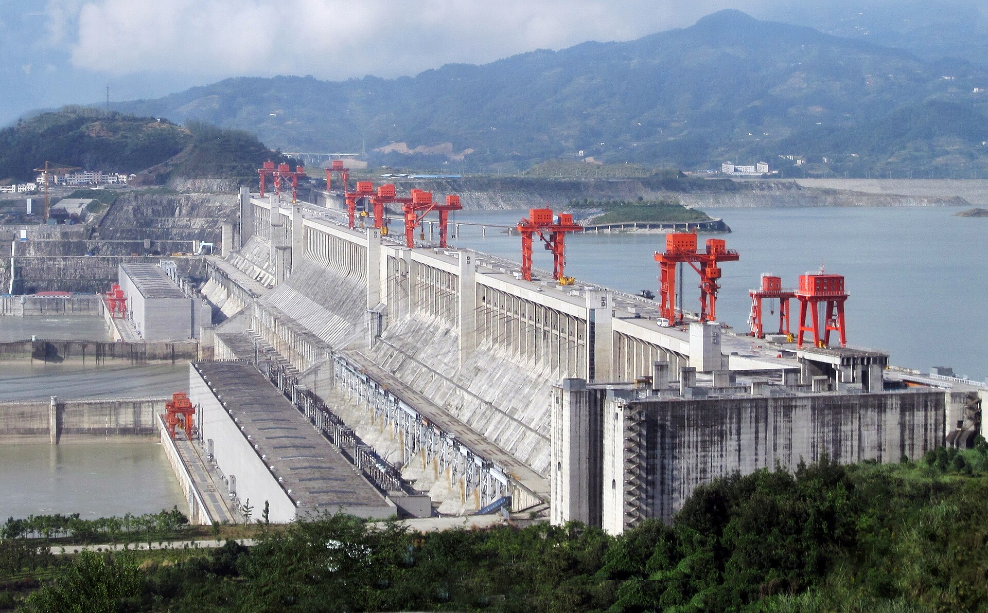
The Three Gorges Dam
On the Yangtze, the Three Gorges Dam (finished 2012) is the largest power station on Earth, about 22,500 megawatts. Its reservoir stretches some 600 km and displaced more than 1.3 million people. It controls floods and moves ships, and it also traps sediment, changed fish habitat and drowned towns and sites.
Photo: Photographer: Pete McBride, U.S. Geological Survey · Wikimedia Commons, Public domain
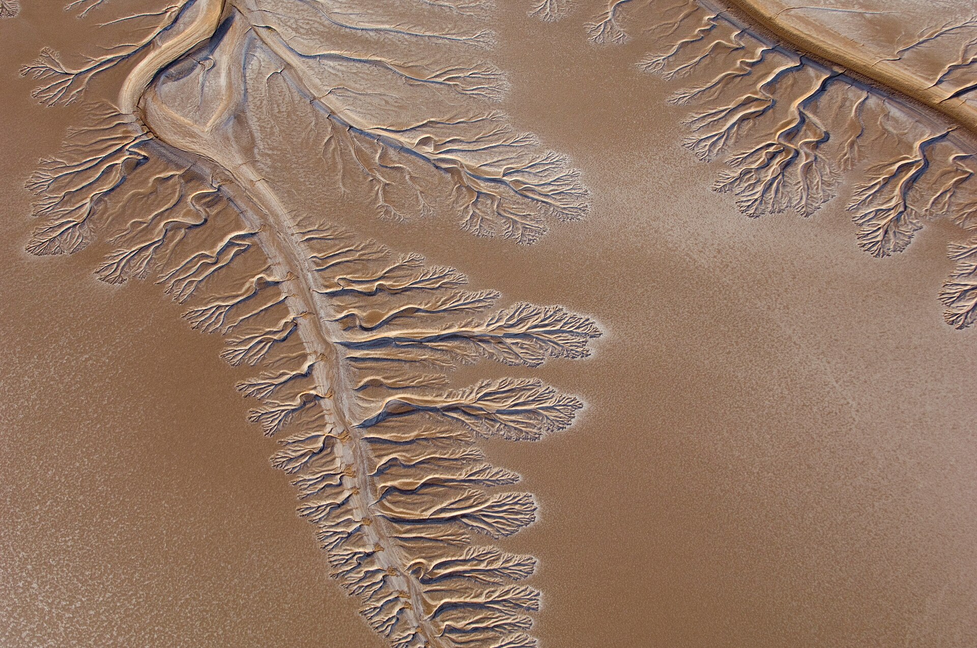
The Colorado: a river that stops short
The Colorado once ran 2,330 km to the Gulf of California. Today dams and canals send nearly all its water to farms and to cities from Denver to Los Angeles, and in most years the river ends in the desert before reaching the sea. Lakes Mead and Powell, its great reservoirs, fell to record lows in 2022.
Photo: Adam Harangozó · Wikimedia Commons, CC BY-SA 4.0
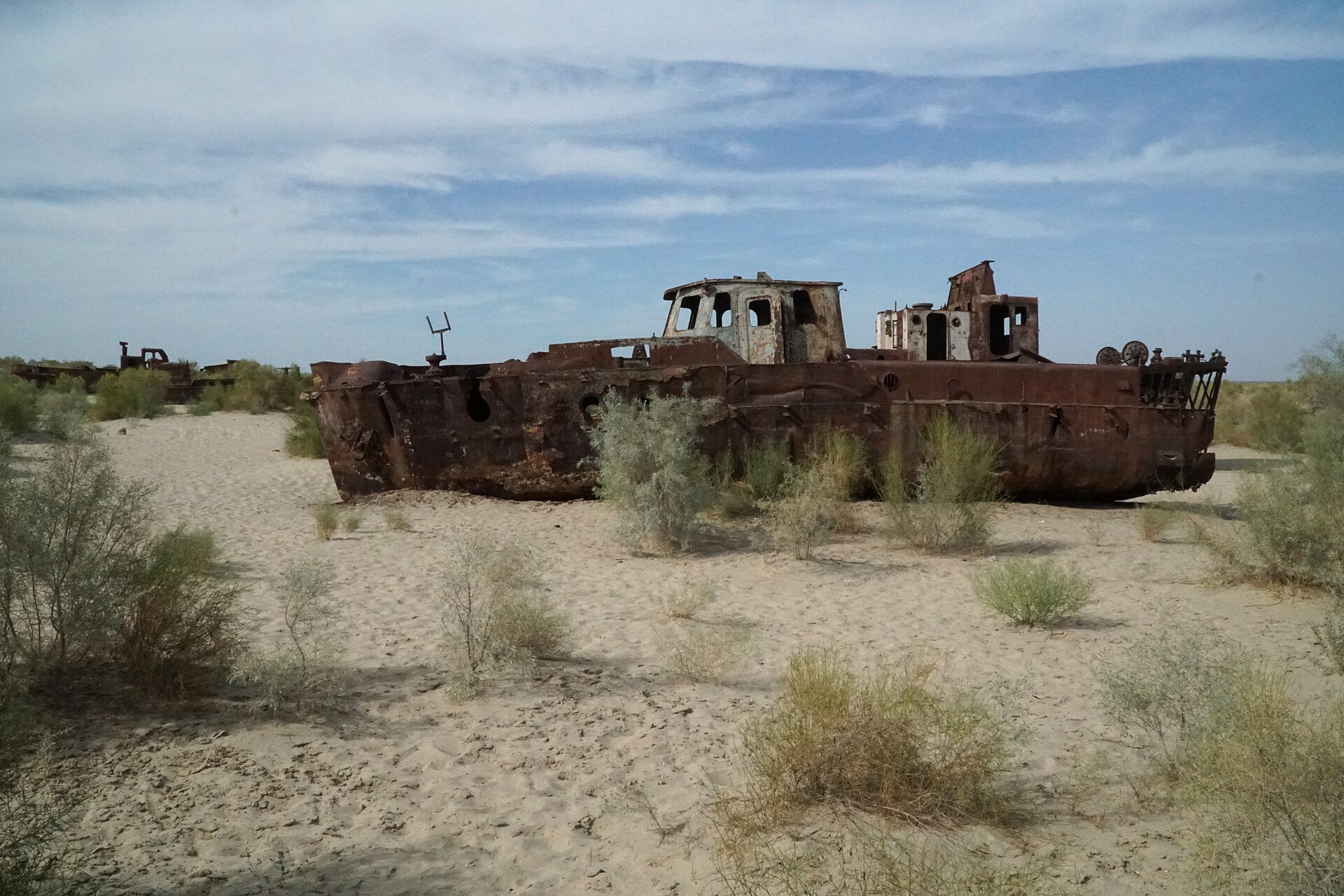
The Aral Sea
The Amu Darya and Syr Darya once filled the Aral Sea, then the fourth-largest lake in the world. From the 1960s, Soviet planners diverted them to grow cotton in the desert. By the 2010s the sea had lost most of its water, leaving fishing boats on dry sand and salt storms. A dam built in 2005 has brought part of the northern Aral back.
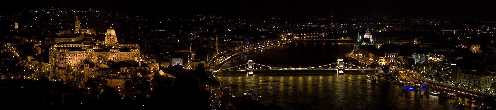
Photo: Christian Mehlführer, User:Chmehl · Wikimedia Commons, CC BY 3.0
Cities on rivers
Rivers gave cities water, food, power and a road to the sea. Look at the list: Cairo on the Nile, Shanghai at the Yangtze mouth, New Orleans and St. Louis on the Mississippi, Vienna, Budapest and Belgrade on the Danube, Rotterdam on the Rhine’s mouth, Kinshasa and Brazzaville facing each other across the Congo.
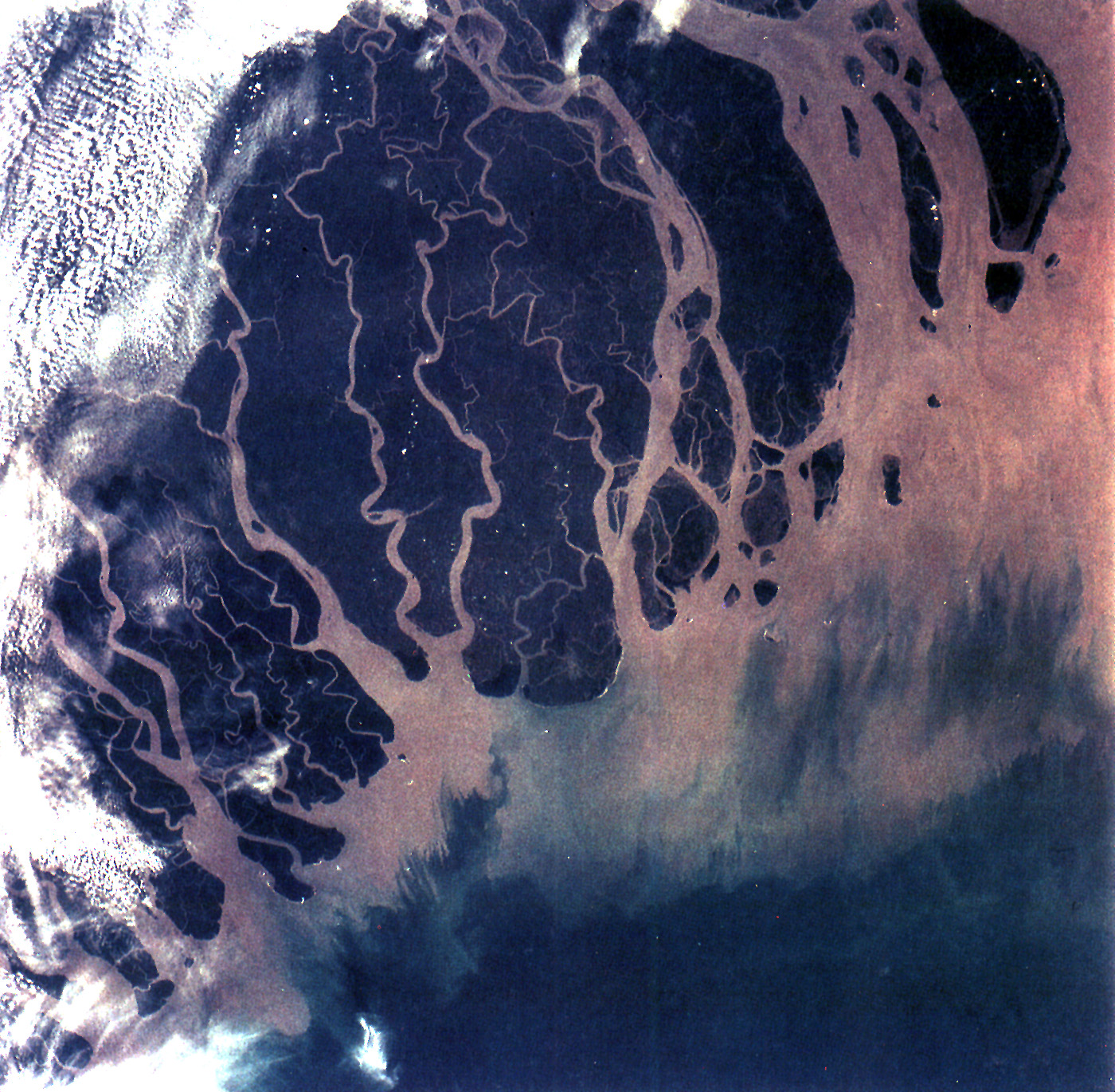
Where a slow river meets the sea it drops its mud and sand and builds a delta. The Ganges–Brahmaputra delta of Bangladesh and India is the largest; the Nile, Mississippi and Mekong deltas feed tens of millions. Dams upstream trap the mud, so many deltas now sink and shrink: Louisiana loses wetland about the size of a football field every 100 minutes.
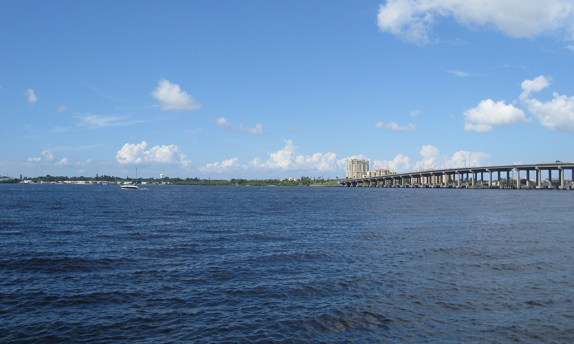
Bradenton sits on the south bank of the Manatee River, about 58 km (36 miles) long, which rises in the east of the county, is dammed to form Lake Manatee (the county’s drinking water), and widens into a tidal estuary to Tampa Bay. Hernando de Soto may have landed near its mouth in 1539; the De Soto National Memorial marks the place.
Photo: Olga Ernst · Wikimedia Commons, CC BY-SA 4.0
The St. Johns flows north
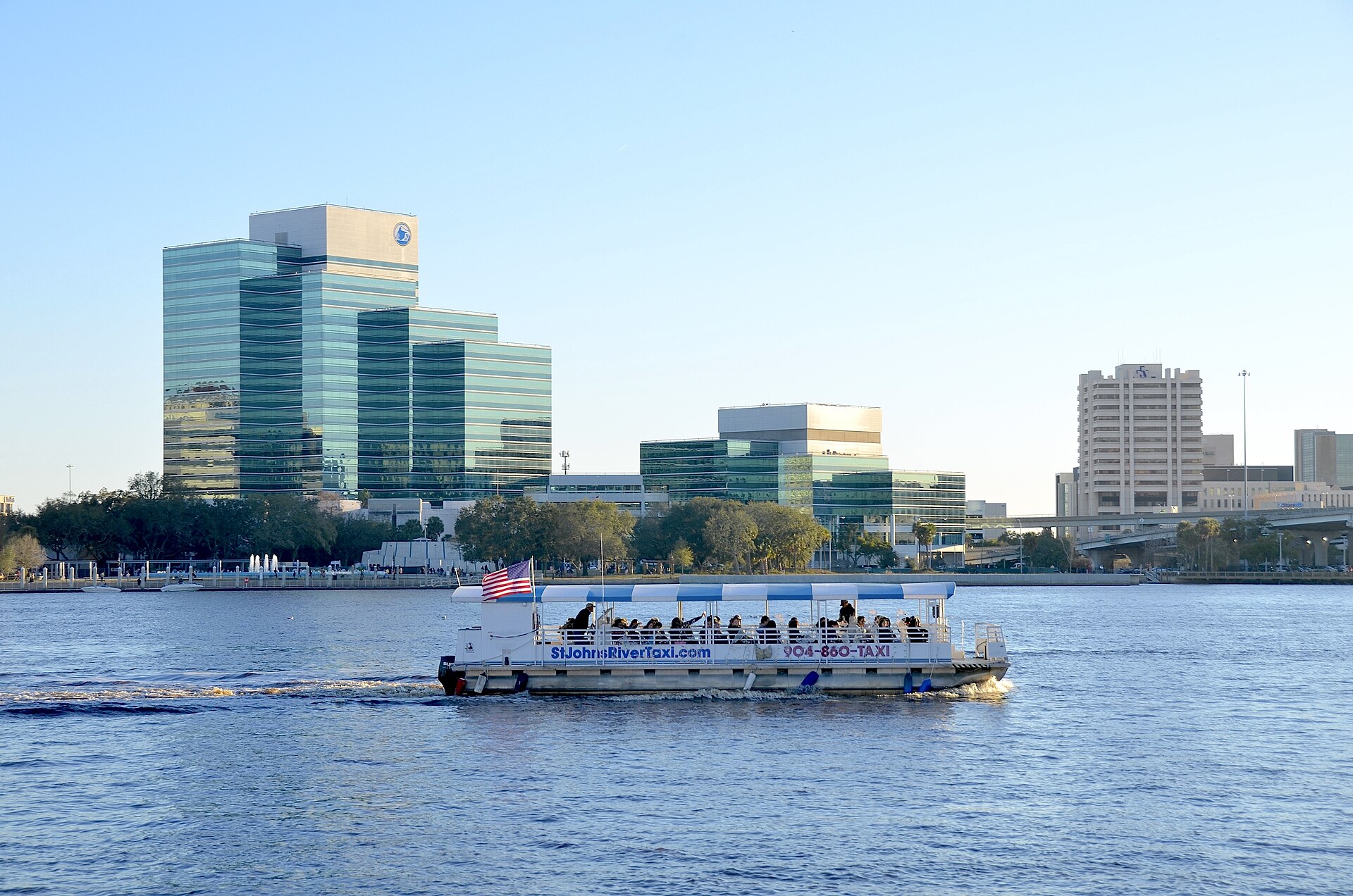
The St. Johns, Florida’s longest river at about 500 km (310 miles), flows north, from the marshes near Vero Beach to the Atlantic at Jacksonville. It drops only about 9 meters in all that distance, one of the flattest major rivers in North America, so the tide can be felt more than 100 miles upstream.
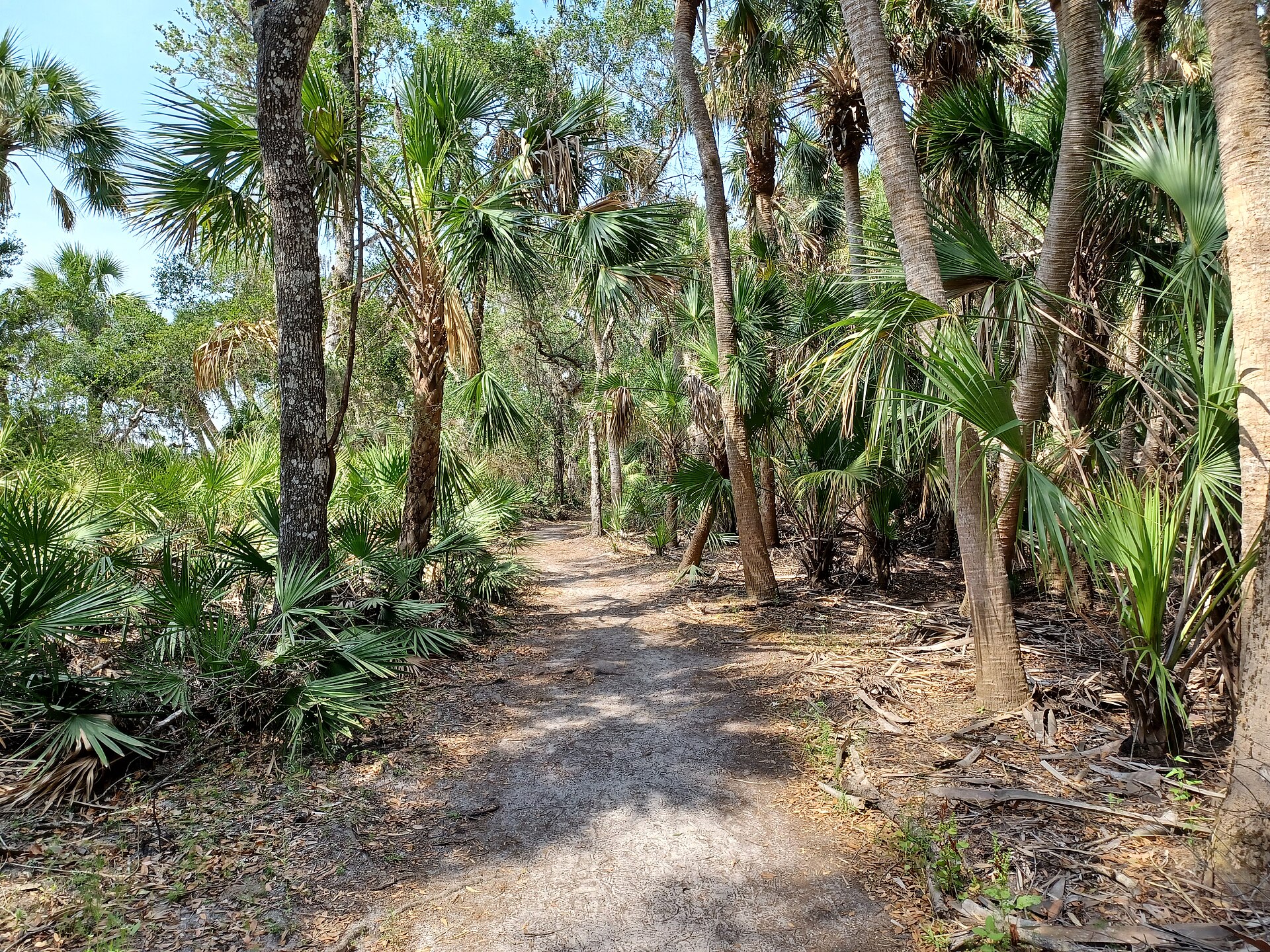
The Suwannee (about 396 km) runs from the Okefenokee Swamp in Georgia to the Gulf, fed by dozens of clear springs. The Peace River (about 171 km), from Polk County to Charlotte Harbor, is famous for fossil shark teeth and was once mined for phosphate. The Myakka (about 106 km) winds through Myakka River State Park near Sarasota, one of Florida’s two state-designated Wild and Scenic Rivers.
Flows north; drops only about 9 m in its whole length.
Suwannee
396 (246)
300
25,770
Gulf of Mexico
From the Okefenokee Swamp; fed by springs.
Peace
171 (106)
33
6,086
Charlotte Harbor
Fossil shark teeth; phosphate country.
Myakka
106 (66)
7
1,500
Charlotte Harbor
A Florida Wild and Scenic River.
Manatee
58 (36)
5
930
Tampa Bay at Bradenton
Bradenton’s river; Lake Manatee reservoir.
≈ Florida figures: Florida DEP, St. Johns River and Southwest Florida water management districts, USGS gauges; flows are rough long-term averages.
Read onStories
Paddle-to-the-Sea (Holling C. Holling, 1941), grades 2–5: a carved canoe travels from the Great Lakes down the St. Lawrence to the Atlantic.
Adventures of Huckleberry Finn (Mark Twain, 1884) and Life on the Mississippi (1883), grades 7–12: the river as road and as freedom.
Heart of Darkness (Joseph Conrad, 1899), grades 11–12: a voyage up the Congo; read with Chinua Achebe’s 1975 critique, “An Image of Africa.”
Siddhartha (Hermann Hesse, 1922), grades 10–12: a seeker learns from a ferryman and the river.
SourcesWhere these facts come from
Each card names its source. River table: Encyclopaedia Britannica river entries; USGS Water Science School; national agencies. Figures vary by source and are marked as estimates.